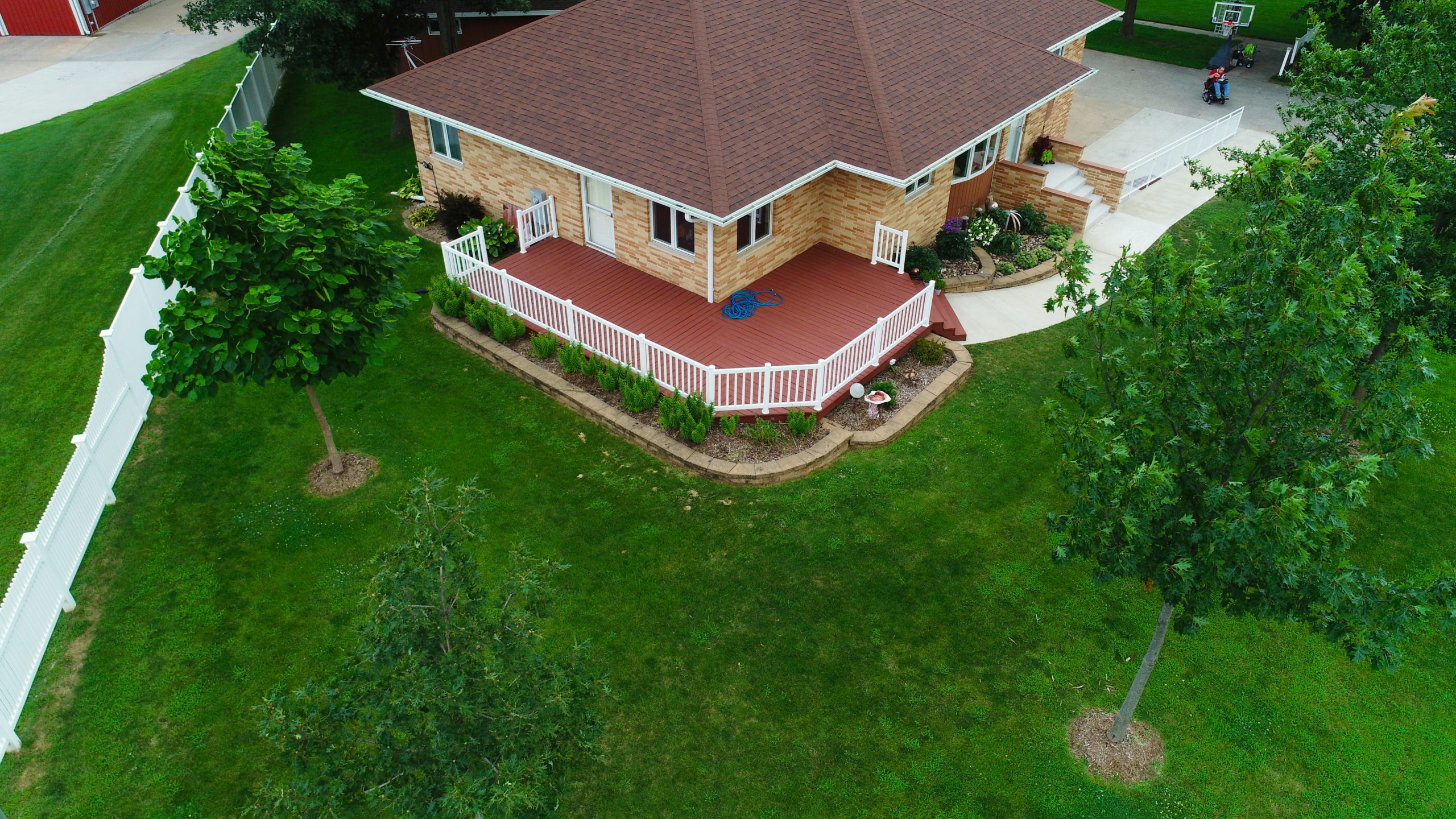
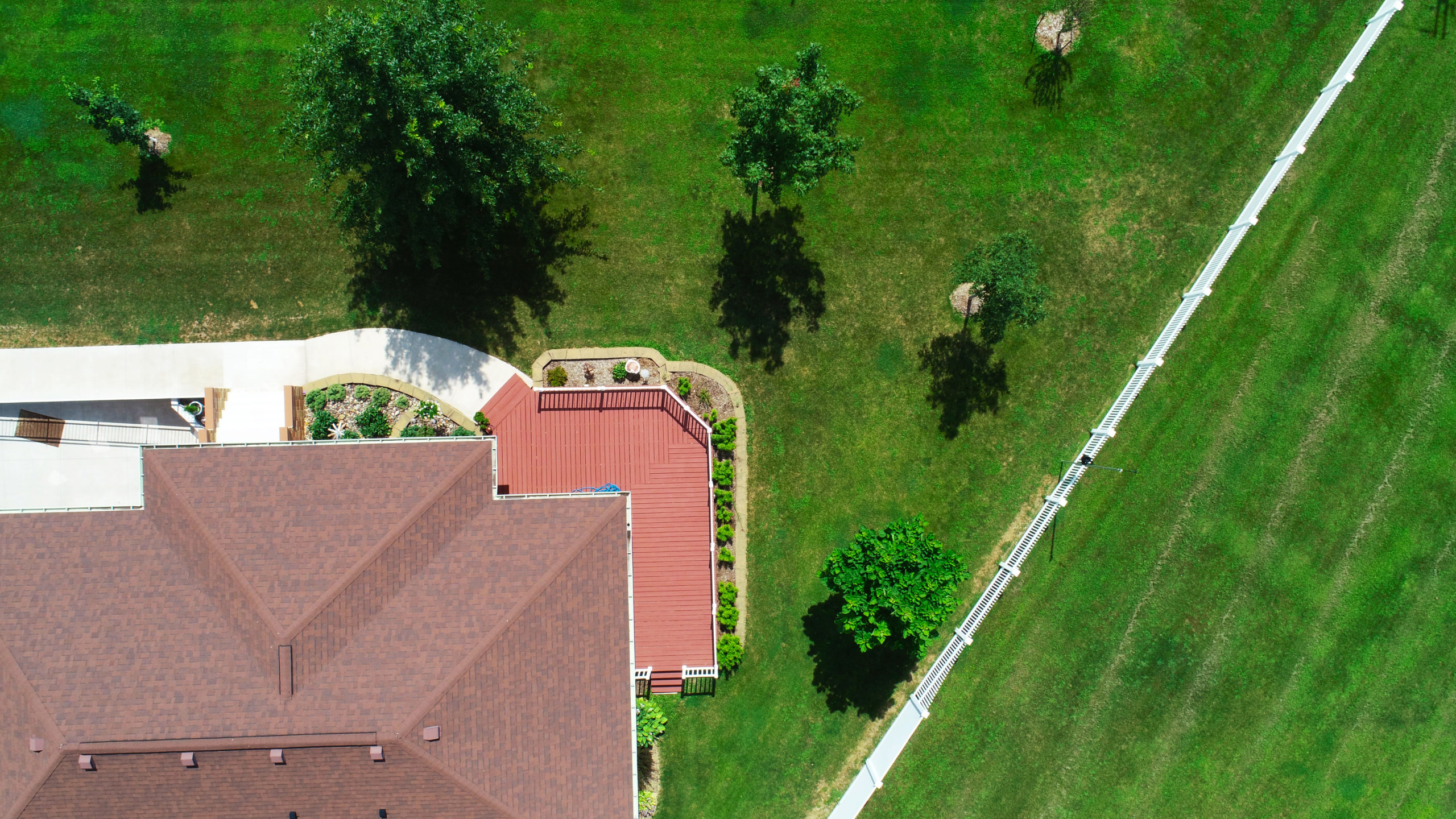
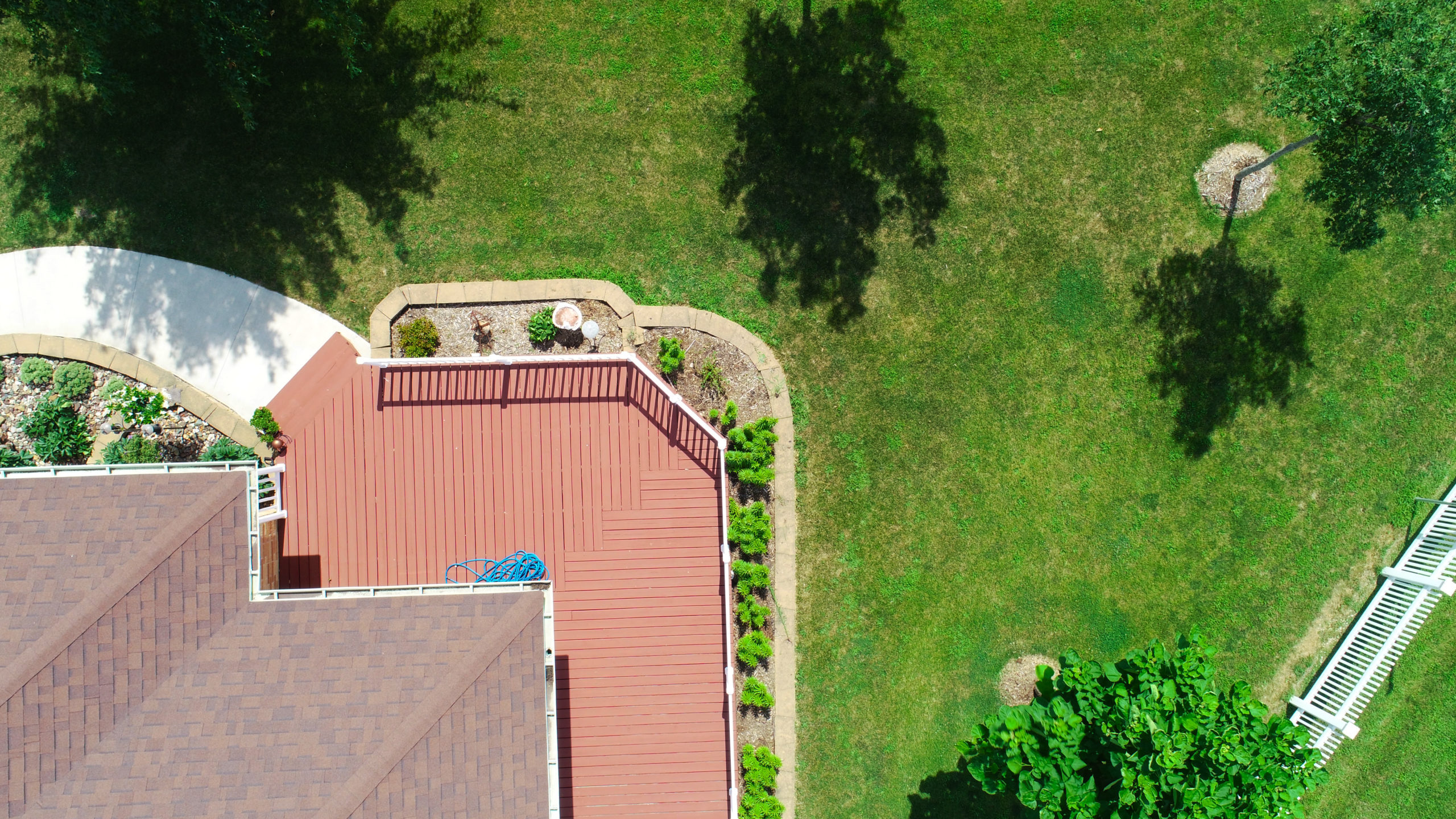
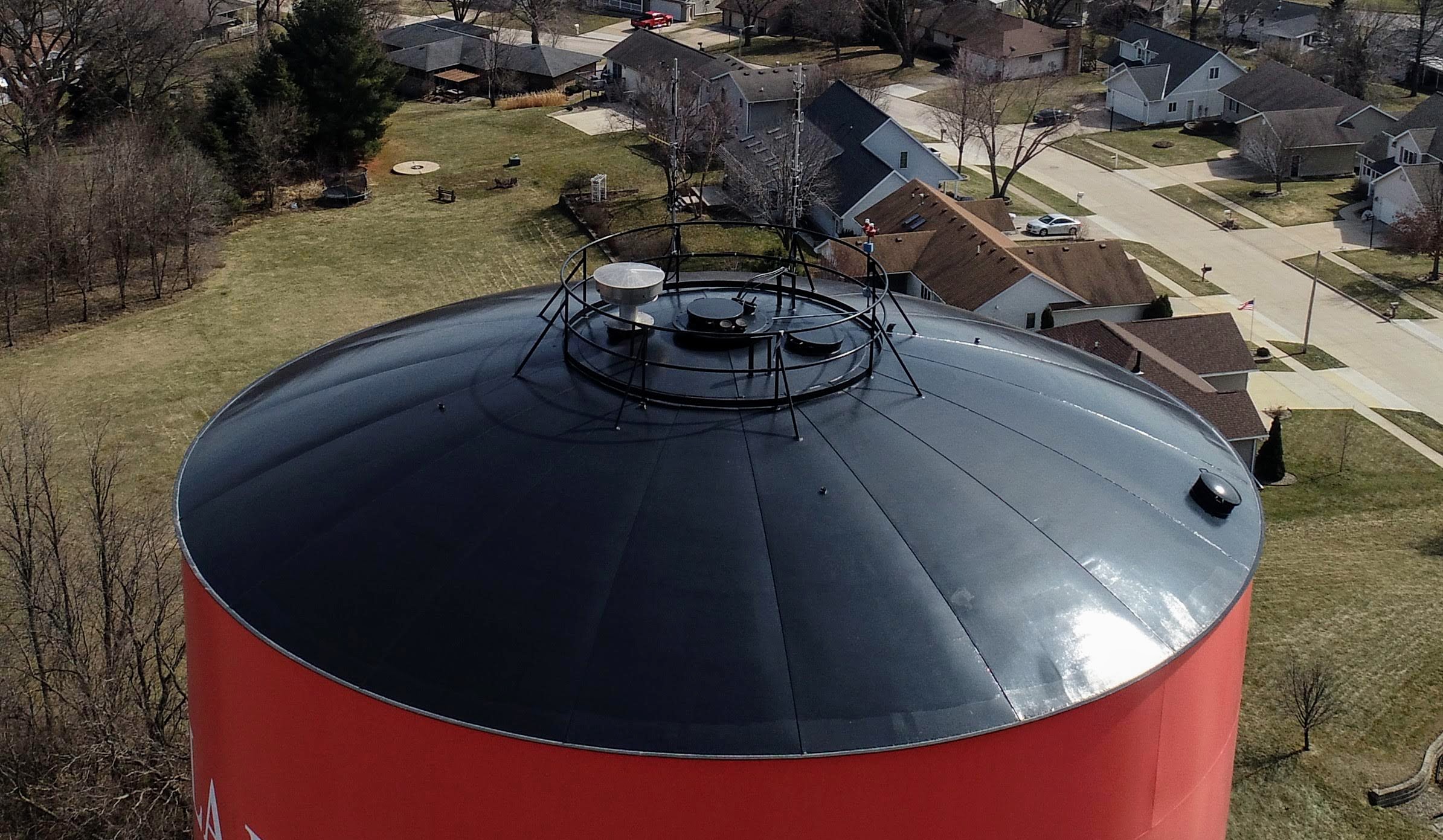
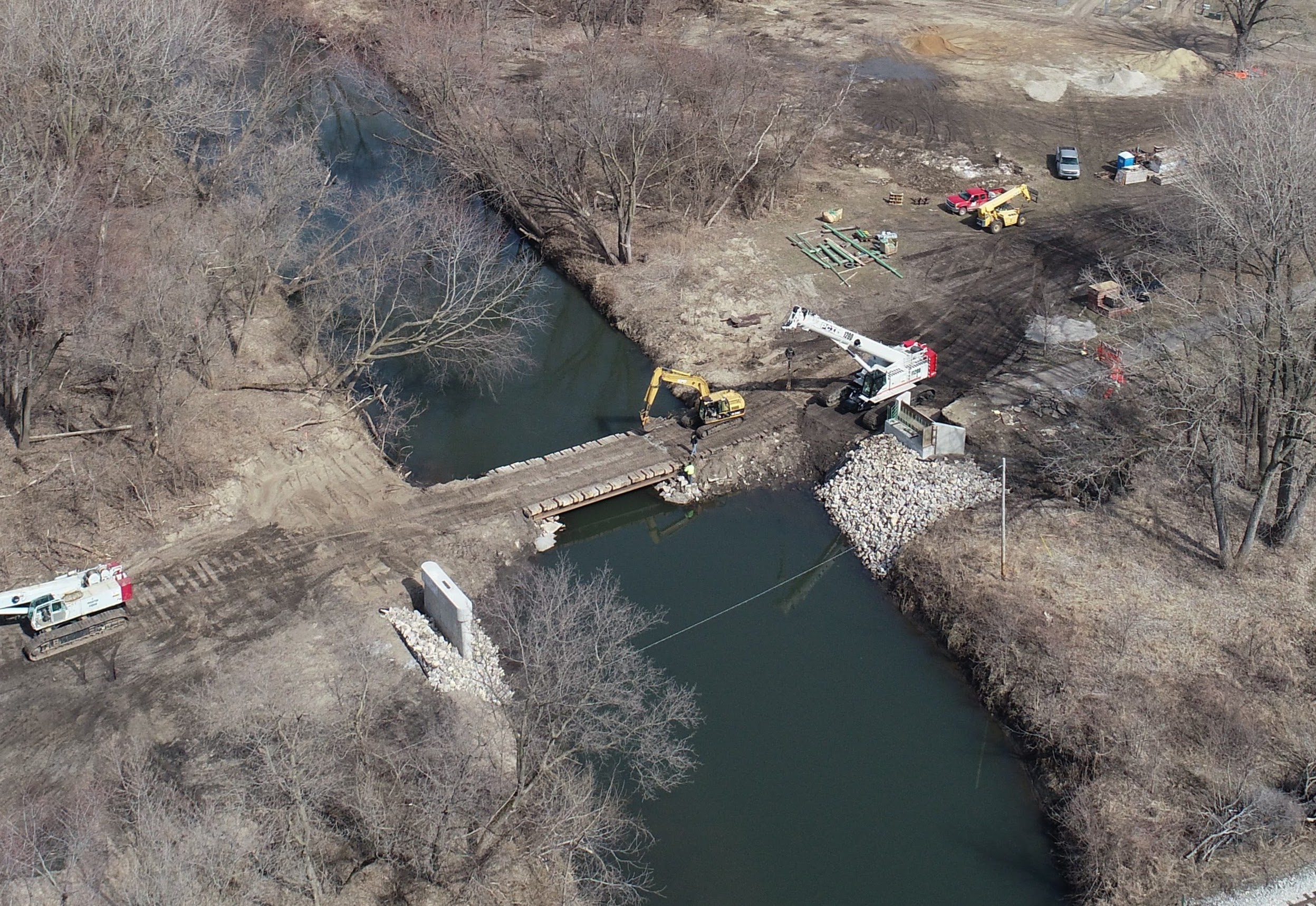
Whether it’s Photos, Video, Orthomosaics, or 3D Modeling, we create Aerial imagery for Businesses, Agriculture, Construction, Real Estate, Infrastructure, Inspections, Mapping, Surveying and More!
Our mission is to provide professional, accurate digital image mapping in geospatial engineering solutions to our clients by excluding both existing and emerging air and ground imaging technologies. Cedar Valley Media is Part 107 FAA-certified and operates UAV’s commercially. You can trust Cedar Valley Media with your project from inception to delivery.

Ready to find out more?
Drop us a line today!